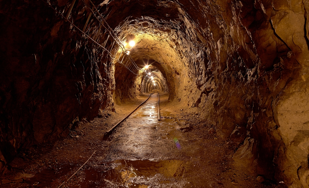


A team of researchers from Xi'an University of Science and Technology has developed a three-dimensional (3D) reconstruction method for coal mine tunnels by integrating LiDAR and Inertial Measurement Units...
Already have an account? Sign in here
The definitive guide to drilling operations and excellence.
GeoDrilling International is the industry's only comprehensive source of breaking news on a daily basis for project and site managers, equipment producers, consultants and contractors.