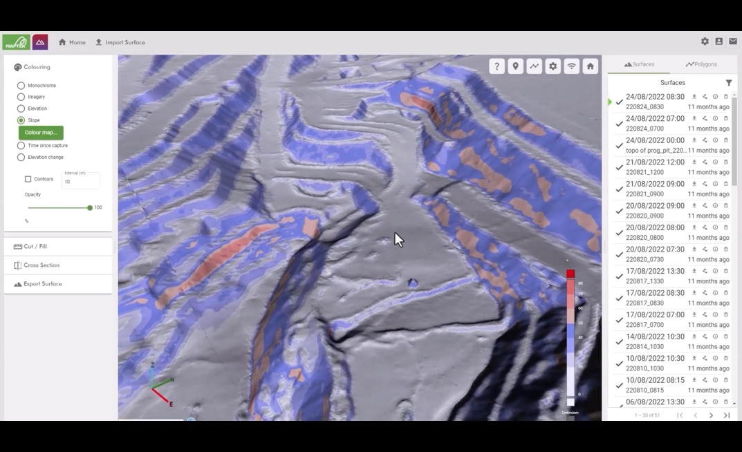
This new digital solution brings simplicity and efficiency to the workflow, revolutionising the way mining and civil engineering projects handle data from laser scans and drones, connecting users with...
Already have an account? Sign in here
The definitive guide to drilling operations and excellence.
GeoDrilling International is the industry's only comprehensive source of breaking news on a daily basis for project and site managers, equipment producers, consultants and contractors.


