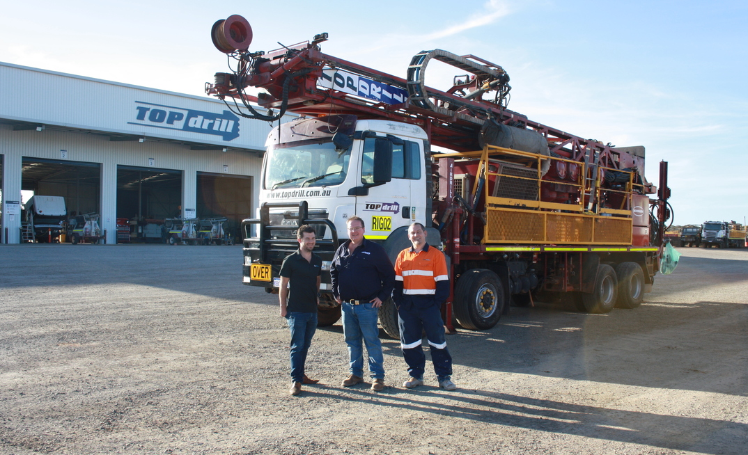
It is the first time a large exploration drilling contractor will begin to incorporate GeoMoby's global leading Protect technology fully into its operations.
In Perth, GeoMoby director Mathieu Paul, said: "We are delighted to collaborate with one of Australia's largest and most professional drilling contractors, in Topdrill. We look forward to working together with Tim Topham and the team, using GeoMoby location intelligence technology, to improve the protection of Aboriginal cultural heritage and environmental sites in Australia and around the globe."
Topdrill is known for challenging the industry with innovative solutions
In Kalgoorlie, Tim Topham, founder and managing director of Topdrill Drilling, said: "Topdrill is known for challenging the industry with innovative solutions and thinking outside the ‘drill bit'. We have carefully researched GeoMoby's extensive suite of Protect applications and believe it is top of its class. Its automatic reporting capability will immediately improve our ESG reporting for Topdrill's mining clients."
Chris Baudia, GeoMoby founder and CEO, added: "GeoMoby's Protect is a key offering in the GeoMoby product line-up which includes three main geolocation solutions for underground mining, surface mining and cultural heritage protection. After years in development and testing, it is great to see Protect having a concrete start in the exploration industry in Western Australia. We believe our easy-to-use technology will soon become industry standard."
Protect solution: How does it work?
GeoMoby's technology uses location services including GPS, fusion sensors and our own patented live tracking algorithms in order to geofence sites and trigger an alert if users enter or come within close proximity of a heritage site, even in remote areas with no connectivity. Receivers can be carried on-person, in vehicles, machinery or equipment, with the app compatible to most modern devices including smartphones and tablets.
The technology allows those operating on-site to create or upload geofences on a map from any GIS systems, then define different alerts and triggers, while ensuring minimum drain on the device battery. Information is then uploaded to a cloud-based platform with replay features and reporting capabilities for compliance purposes.
Got a story? Email: duncan.moore@aspermont.com


